Glossary
- Adventurer
- A speculator who loaned money to the English Parliament in return for a promise of land in Ireland.
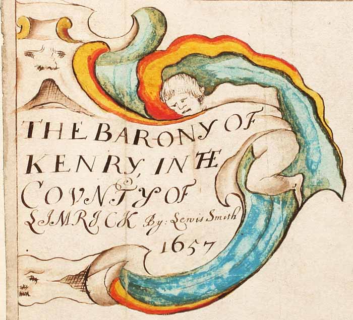
- Barony
- Baronies are subdivisions of counties. 320 baronies were recorded by the Ordnance Survey in the
nineteenth century. The term barony comes into use in Ireland in the Elizabethan period and became a standard
term through its use in the Civil and Down Surveys in the mid-seventeenth century. In the middle ages, in the
south and east where counties had been established the most common equivalent term was Cantred. There are
significant discrepancies between the boundaries of these medieval cantreds and the later baronies. In western
Ireland and in the area of the Ulster plantation there is a close correspondence between barony boundaries and
the boundaries of preexisting Gaelic territorial divisions. The barony remained in use as an administrative
territorial unit until the early twentieth century.
- County
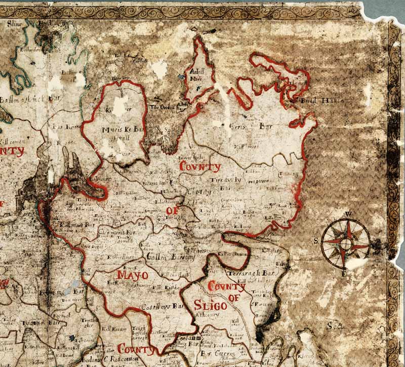
- The county has its origins in the twelfth and thirteenth century as the area under the jurisdiction of a
sheriff in the system of government established following English colonization after 1169. By the end of the
thirteenth century counties had been delimited in eastern and southern Ireland. A second wave of county
establishment followed in the Elizabethan period. Wicklow, 1606 was the last county to be formed. The exact
boundaries of the counties changed during the medieval and early modern periods. The production of county maps
in Petty’s Hiberniae Delinatio (1685) contributed greatly to the fixing of the county boundaries in the
seventeenth century. The counties continued to be used as units of civil administration in the eighteenth and
nineteenth centuries and with a division of county Dublin up to the present day. The significance of the
county was greatly enhanced by its adoption as a territorial division by the GAA in 1884.
- Forfeited
- Land, always Catholic owned, to be surrendered to the English Commonwealth and given to soldiers and
adventurers as pay or repayment.
- Geo-reference
- GIS term – entering real geographical coordinates, for example Latitude and Longitude, into a database and
assigning those coordinates to an object such as a line, point, polygon or an entire scanned image.
- GIS
- A geographic information system (GIS) integrates hardware, software, and data for capturing, managing,
analyzing, and displaying all forms of geographically referenced information.
- Landowner, 1641
- The owner of a Townland in 1641, as returned by the Civil/Down Survey.
- Landowner, 1670
- The owner of a Townland in 1670 as returned by the Books of Survey and Distribution.
- Parish
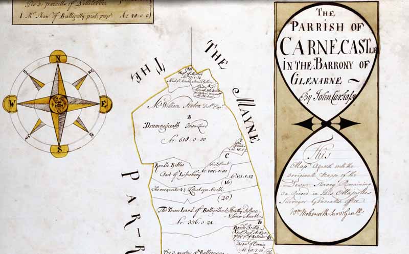
- The parish in Ireland has its origins in the late twelfth and thirteenth century as a unit of ecclesiastical
territorial organization. Parishes were the areas from which tithe was paid for the support of the church and
also the area served by a parish priest. Parishes were established rapidly following English colonization
after 1169. The establishment of parishes quickly spread to Gaelic Ireland. Pre-existing Gaelic territorial
units such as the Tuath were often used to form the boundaries of parishes. In colonial southern and eastern
Ireland in the middle ages the boundaries of the parishes also normally closely followed the boundaries of
manors. The parish was increasingly used a unit of civil administration from the seventeenth century onwards.
There were 2,445 of these civil parishes in the nineteenth century. It should also be noted that Ireland has a
separate network of Roman Catholic parishes established during the late eighteenth and nineteenth centuries.
- Polygon
- GIS term – collection of lines forming a closed shape, used in GIS systems to calculate areas.
- Townland
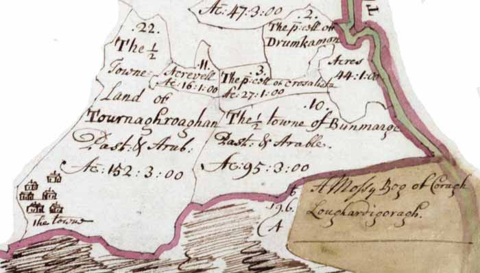
- The townland is the smallest unit of territorial organization in Ireland. 62,205 townlands were recorded by
the mid-nineteenth century Ordnance Survey. Before Sir William Petty and the Down Survey, the territorial unit
subsequently called the townland was known by a variety of regional terms, such as: tates, polls,
ballyboes. Petty standardized these under a single term. The origins of the townland certainly go back to
the early medieval period. Townlands vary in size in relation to land
quality: the size of the townland is proportional to the carrying capacity of the land. Townland boundaries
and names fluctuated during the middle ages. The making of the Down Survey maps was a key stage in the
outlining of permanent boundaries for townlands: this process was completed by the Ordnance Survey in the
nineteenth century. These townlands have been used as units of civil administration up to the present day.
- Profitable
- Land that was rented out in 1641, and therefore profitable.
- Soldier
- A soldier in the Commonwealth army owed arrears of pay.
- Terrier
- Written description accompanying townland maps
- Unprofitable
- Land that was not rented in 1641, or unusable land such as bog, and therefore unprofitable.


